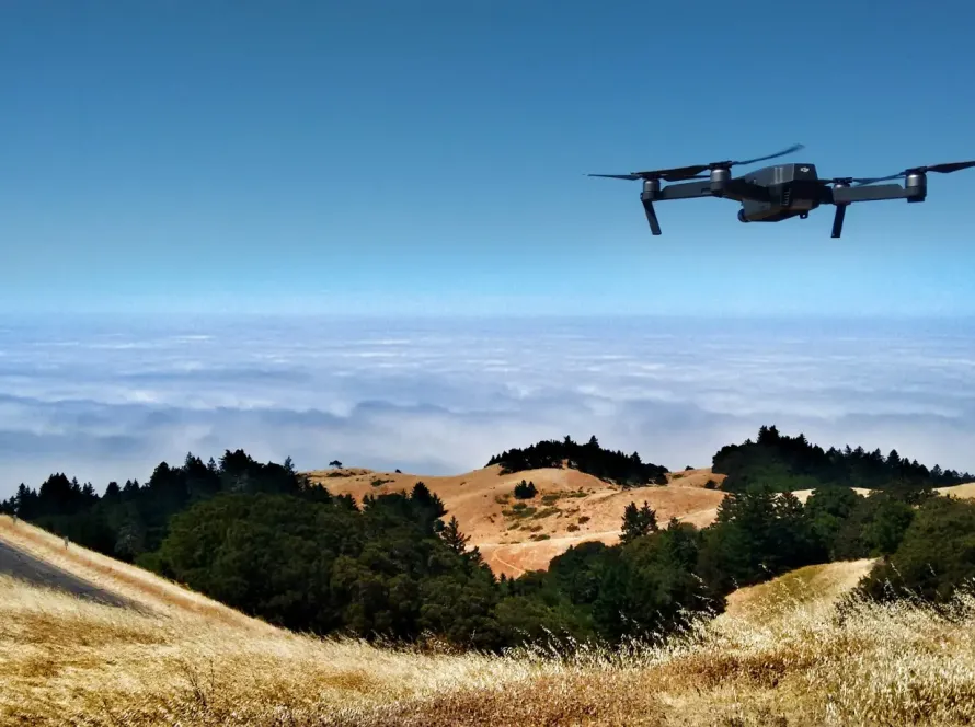
Amman’s unique topography—built across multiple hills (Jabals) and deep valleys—makes urban planning and infrastructure development a complex challenge. Traditional land surveying methods are slow and labor-intensive in these steep terrains. Aerial photogrammetry and drone-based 3D modeling have emerged as critical tools, allowing engineering firms and municipal planners to capture high-density spatial data in a fraction of the time.
Quick Summary & Direct Answer
Aerial photogrammetry in Amman utilizes RTK (Real-Time Kinematic) drones to capture overlapping aerial images, which are processed into highly accurate 3D mesh models, orthomosaics, and digital elevation models with centimeter-level precision. This technology speeds up site surveys for road layouts, commercial developments (such as Abdali Phase 2), and municipal planning by up to 80% compared to GPS-pole surveying.
The Process of Drone Photogrammetry: Centimeter-Level Accuracy
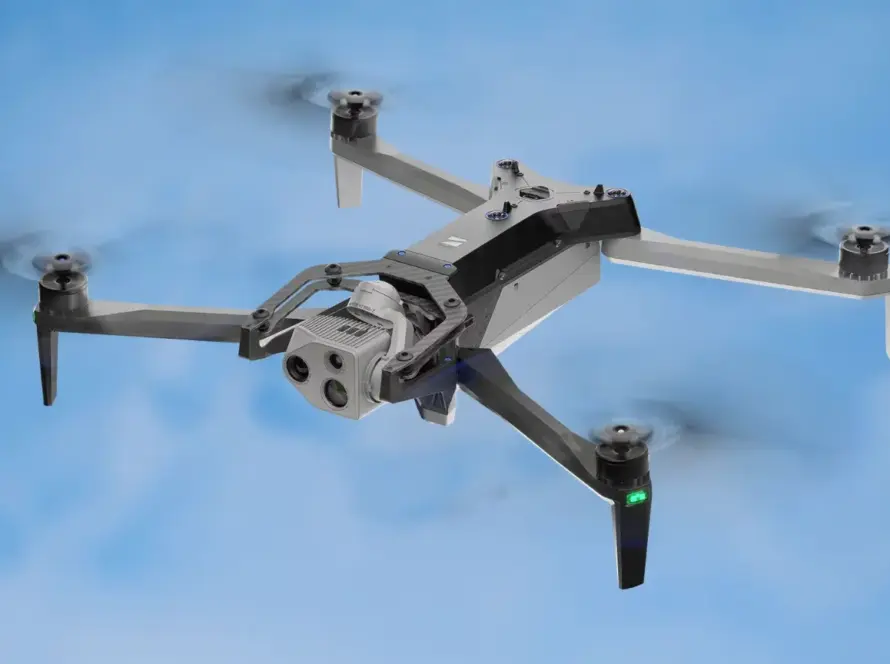
The workflow begins by laying out Ground Control Points (GCPs) across the site to ensure absolute spatial anchoring. An RTK-enabled mapping drone is then programmed with an autonomous grid flight path, capturing high-resolution photos with 80% front and side overlap. Specialized photogrammetry software (such as Pix4D or Bentley ContextCapture) processes these images by matching matching visual keypoints, generating a dense 3D point cloud and textured 3D mesh.
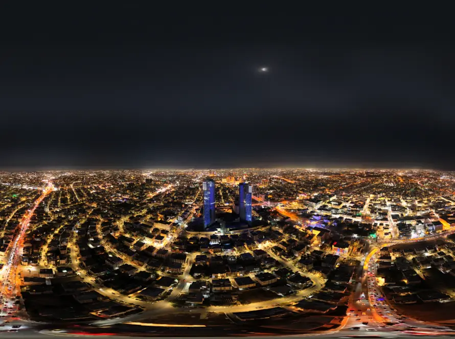
Supporting Major Urban Infrastructure in Jordan
For major projects like the expanding Amman Ring Road or new residential communities in Dabouq and Khalda, drone photogrammetry provides a comprehensive digital twin of the landscape. Engineering teams can calculate cut-and-fill earthwork volumes, analyze slope stability on steep hillsides, and simulate stormwater runoff paths to prevent flooding, all from their desktop CAD environments.
Drone Photogrammetry vs. Traditional Ground Land Surveying
| Feature / Parameter | Traditional Land Surveying (GPS/Total Station) | Drone Aerial Photogrammetry (RTK-UAV) |
|---|---|---|
| Data Collection Speed | Slow (Days/Weeks for large rugged plots) | Fast (Minutes/Hours per flight sweep) |
| Data Density | Low (Individual measured points on a grid) | High (Millions of points forming a continuous mesh) |
| Cost Efficiency | High labor costs over extended field periods | Lower overall cost with rapid turnaround times |
| Safety Risk | High (Surveyors climbing steep cliffs or busy roads) | Zero (Drone flies overhead, operator remains in safe zone) |
| Typical Deliverables | 2D CAD drawings, elevation points | 3D point clouds, textured meshes, orthomosaics, DEMs |
Professional Drone Mapping Services in Jordan
Loyalty Drones provides professional aerial photogrammetry and mapping services across Jordan. We combine high-accuracy DJI Enterprise RTK hardware with certified GIS engineers to deliver engineering-grade spatial data that seamlessly integrates into your CAD and BIM workflows.
Partner with Loyalty Drones
Bring absolute precision to your next construction project. Contact Loyalty Drones to schedule a professional aerial photogrammetry survey.