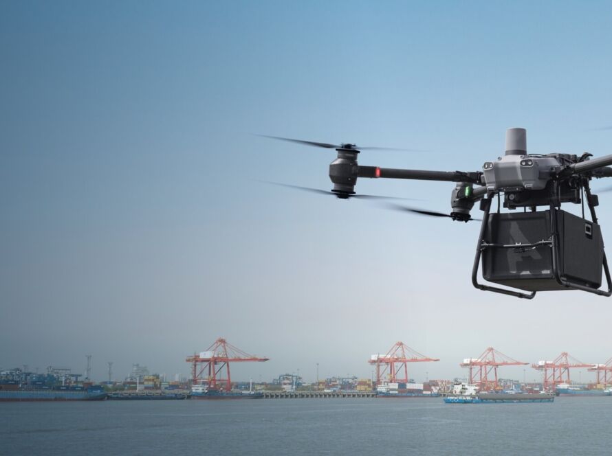
Amman’s urban expansion demands precise scheduling and strict compliance with local building regulations. Traditional progress monitoring relies on static photos and visual checks. By integrating drone-to-BIM photogrammetry, Amman contractors can compare real-world construction progress against 3D Revit models in real-time, reducing structural rework.
Quick Summary & Direct Answer
Drone construction monitoring in Amman provides high-density 3D point clouds and orthomosaics. This workflow ensures alignment with Greater Amman Municipality (GAM) regulations, reduces construction rework costs by 15%, and increases site volume calculation speeds by 80%.
BIM Integration and As-Built Site Documentation
As construction progresses, small deviations from structural blueprints can cascade into expensive errors. UAV photogrammetry generates centimeter-accurate point clouds. Importing these point clouds into Autodesk Revit allows engineering teams to overlay as-built structures onto original designs to detect clashes instantly.
Meeting Greater Amman Municipality (GAM) Compliance Codes
The Greater Amman Municipality enforces strict regulations on building heights, setbacks, and land boundaries. Aerial drone mapping provides verifiable orthomosaics that serve as documentation for local regulatory audits, ensuring projects remain compliant throughout construction.
Drone Integration Across Amman Construction Phases
| Phase | Drone Deliverable | Frequency | BIM Integration Goal |
|---|---|---|---|
| Earthworks | 3D Mesh & Cut/Fill Volume Maps | Bi-weekly | Earthwork calculations |
| Superstructure | LiDAR Point Cloud & As-Builts | Weekly | Clash detection in Revit |
| Envelope & Facades | High-Res Close-up Visuals | Monthly | Quality control audits |
| Project Handover | Complete As-Built Orthophotos | Closeout | GAM compliance archive |
Streamline Your Amman Development Project with Loyalty Drones
Loyalty Drones provides high-precision aerial data capturing for developers and engineers in Amman. We operate fully licensed RTK-enabled drone fleets that deliver coordinate-accurate mapping products ready for import into your engineering workflow.
Partner with Loyalty Drones
Prevent costly construction rework and keep your projects on schedule.