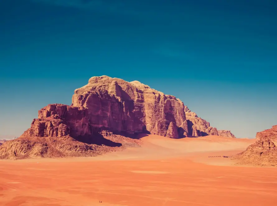
Jordan’s ancient sites—from the rose-red stone city of Petra to the sprawling Roman ruins of Jerash—are priceless treasures of global heritage. Preserving these extensive open-air museums against weathering, erosion, and tourist impact requires advanced conservation techniques. Drone-based topographic surveying and high-precision mapping have become primary tools, allowing archaeologists and conservation managers to document every stone and coordinate protection strategies.
Quick Summary & Direct Answer
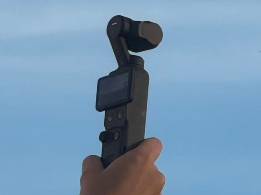
Topographic drone surveying in Petra and Jerash utilizes mapping drones equipped with high-resolution visual and Lidar sensors to scan ancient architecture. This processes detailed 3D digital twins, orthophoto maps, and terrain elevations without physical contact, accelerating historic documentation by up to 90% compared to traditional manual measuring tape or total-station setups.
Non-Invasive Spatial Mapping: Protecting Delicate Monuments
The single most important benefit of drone-based surveying is its non-invasive nature. Traditional architectural measurement requires physical contact, placing climbing scaffolding or heavy tape measures on fragile sandstone facades or ancient Roman columns. Drones fly safely overhead, using photogrammetry and Lidar to build millimeter-accurate digital models. This protects the monuments from mechanical wear while delivering comprehensive spatial records.
Building 3D Digital Twins for Heritage Site Management
By stitching together thousands of aerial photographs, conservation teams generate high-resolution 3D digital twins. These digital assets are utilized to analyze structural shifts, monitor sandstone decay over years, and simulate geological threats like flash floods in Petra’s Siq. The digital models also serve as immersive, interactive education assets for researchers worldwide, opening Jordan’s heritage to the global scientific community.
Drone Surveying vs. Traditional Archeological Mapping
| Mapping Parameter | Traditional Archeological Mapping | Drone-Powered Spatial Surveying |
|---|---|---|
| Risk to Artifacts | High (Scaffolding, physical tape contact on fragile surfaces) | Zero (Remote sensors scan from safe aerial flight lines) |
| Survey Duration | Slow (Weeks to months for complex tombs or ruins) | Fast (Full site scan completed in 1 to 2 hours of flight) |
| Level of Detail | Selective (Technicians drawing specific sections) | Comprehensive (Continuous 3D point cloud of all surfaces) |
| Erosion Monitoring | Difficult (Hard to measure volumetric loss manually) | Highly Accurate (Compare multi-year 3D meshes to detect loss) |
| Primary Deliverables | Hand-drawn blueprints, 2D elevation charts | Interactive 3D digital twins, textured meshes, Lidar maps |
Preserving Jordan’s History with Loyalty Drones
Loyalty Drones provides high-precision aerial surveying and documentation services for historical and cultural projects in Jordan. Operating under strict CARC approvals and in coordination with the Ministry of Tourism, we deliver accurate topographic datasets that support the longevity of Jordan’s historical landmarks.
Partner with Loyalty Drones
Support historical conservation with high-precision digital data. Contact the mapping experts at Loyalty Drones today.