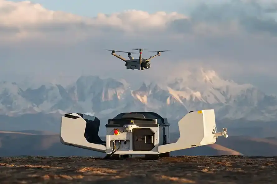
The Dead Sea—the lowest point on Earth—is facing a critical environmental challenge as its water levels drop by more than one meter every year. This rapid shoreline regression triggers the formation of thousands of dangerous sinkholes along the coast, threatening local hotels, roads, and agricultural infrastructure. To study these rapid changes and protect vital developments, environmental scientists and B2B developers are deploying multispectral drone mapping.
Quick Summary & Direct Answer
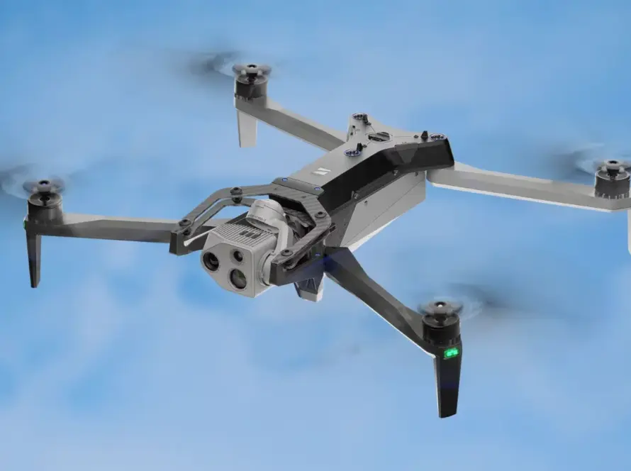
Dead Sea environmental monitoring via drones utilizes high-resolution RTK photogrammetry and multispectral sensors to scan the coast for sinkhole formation and shoreline erosion. By building detailed digital elevation models, geological teams can detect underground soil subsidence early and map structural risks for shoreline resorts and highways.
Sinkhole Detection: Early Warning Through High-Resolution 3D Models
Sinkholes form when underground salt layers are dissolved by freshwater runoff, causing the surface soil to collapse without warning. Traditional ground surveys of these sinkhole fields are extremely dangerous due to unstable soil conditions. Drones solve this by flying automated search patterns, generating high-density 3D digital twins of the shoreline. Comparing these models over time allows geologists to identify minor surface depressions, acting as an early warning system for ground collapse.
Tracking Coastline Erosion and Sand Movement
As water recedes, it leaves behind fragile mudflats that erode rapidly during seasonal rainstorms. Multispectral drones capture agricultural runoff patterns and map the chemical differences of salt deposits along the shore. The high-resolution orthophoto maps also help hotels and engineers track sand movement, allowing them to construct protective beach barriers and plan long-term resort infrastructure updates.
Dead Sea Shoreline Environmental Metrics Tracked by Drones
| Environmental Metric | UAV Sensor / Technology | Value to Hotel Operators & Geologists |
|---|---|---|
| Ground Subsidence / Sinkholes | RTK Digital Elevation Models (DEM) | Detect minor ground drops before collapse, protecting buildings and roads |
| Shoreline Regression Line | Orthomosaic Mapping & GIS Layers | Precise annual measurement of water retreat to plan resort beach expansions |
| Soil Moisture & Runoff Paths | Multispectral Imaging (NDRE/NDVI) | Map freshwater springs dissolving salt layers under hotel foundations |
| Coastal Slope Stability | 3D Textured Point Clouds | Analyze the slope angle of soft clay cliffs to prevent landslide hazards |
Scientific Environmental Mapping with Loyalty Drones
Loyalty Drones provides professional environmental mapping services along the Dead Sea coast. Working in compliance with CARC safety clearance, we equip researchers and developers with georeferenced visual and topographic data to support sustainable development in this unique natural ecosystem.
Partner with Loyalty Drones
Protect your shoreline assets with precision environmental mapping. Contact the drone survey experts at Loyalty Drones today.