Drone photogrammetry stitches hundreds of overlapping aerial photos into a survey-grade 3D model, orthomosaic map, or textured digital twin of any site in Jordan — from a single villa in Amman to a 50-hectare masterplan. It is the workhorse of modern AEC, mining and real estate development because it is fast, repeatable, and the deliverables drop straight into AutoCAD, Revit, ArcGIS and BIM software.
What photogrammetry actually produces
- Orthomosaic — a single high-resolution top-down image of the entire site, geo-referenced (e.g. 2 cm per pixel).
- DSM/DTM — Digital Surface Model and Terrain Model raster maps.
- Textured 3D mesh — coloured 3D model of buildings, terrain, structures.
- Point cloud — millions of XYZ points (LAS/LAZ) usable in CAD.
- Contours — at 0.5 m / 1 m intervals.
- Volumetrics — stockpile, excavation, fill volume calculations.
Photogrammetry vs LiDAR — which one do you need?
| Aspect | Photogrammetry | LiDAR |
|---|---|---|
| Texture & colour | Native | Optional |
| Vegetation penetration | No | Yes |
| Accuracy | ±3–5 cm | ±2 cm |
| Cost | Lower | Higher |
| Best for | Buildings, roofs, bare sites | Forests, corridors |
Where it works best in Jordan
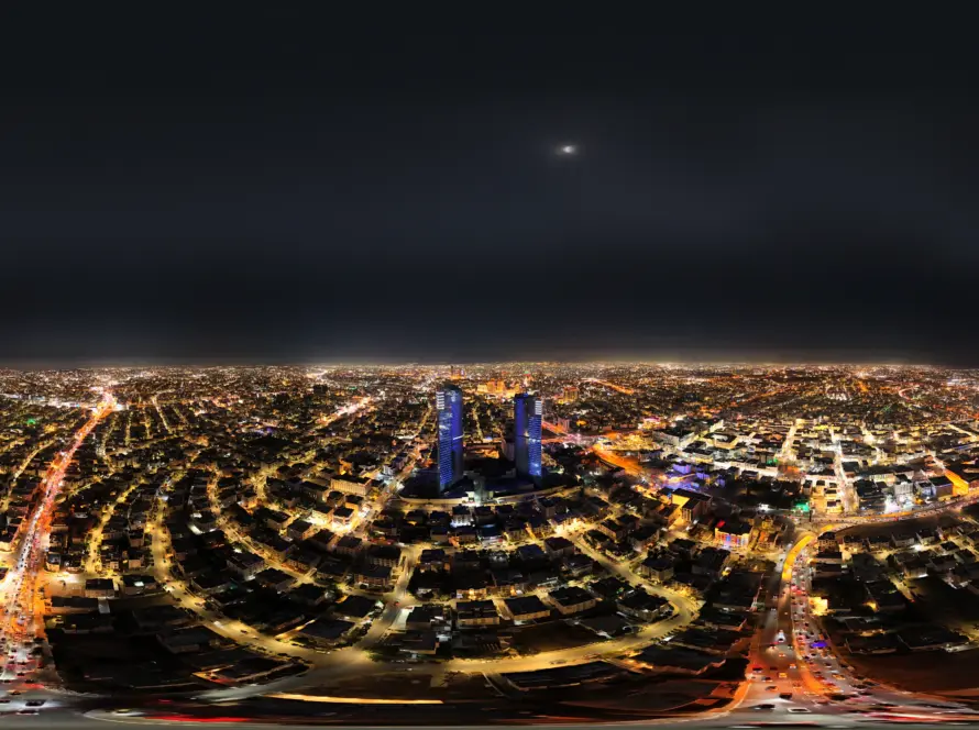
- Real estate masterplans — Boulevard, Abdoun, Aqaba bay developments.
- Construction progress — weekly captures of high-rise and infrastructure sites.
- Quarries and stockpiles — monthly volumetrics for billing reconciliation.
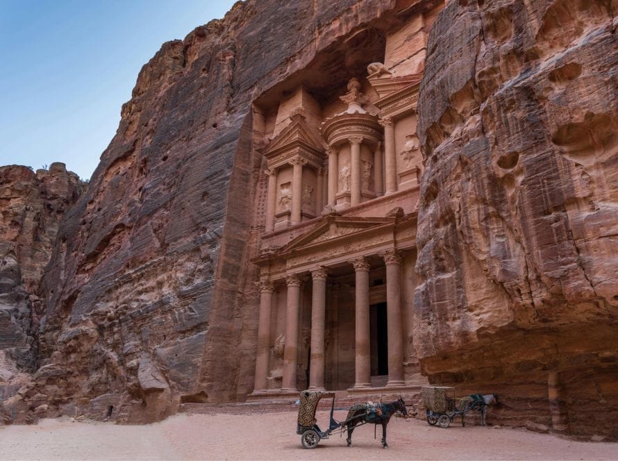
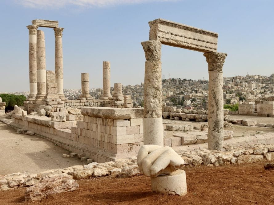
- Heritage and archaeology — 3D documentation of Petra, Jerash, Umm Qais.
- Insurance and forensic surveys — pre-/post-event capture of damaged sites.
- Solar farms — combined orthomosaic + thermal layer.
How accurate is it really?
With well-placed ground control points and an RTK drone, photogrammetry deliverables in Jordan achieve ±3 cm horizontal and ±5 cm vertical on a bare site. Accuracy degrades on dense vegetation (LiDAR is the answer there) and reflective surfaces (glass façades, water).
What we need from you
- Site boundary (KML, DWG, or even a satellite screenshot).
- Deliverable format and software (Revit, AutoCAD, ArcGIS, Sketchfab, etc.).
- Site access and any no-fly constraints.
- For volumetrics: the baseline surface (we can derive one from an earlier flight).
Cost in Jordan (indicative)
Small site (under 5 ha): from 600 JOD including ground control and orthomosaic. Medium site (5–50 ha): from 1,500 JOD. Large area (50 ha+): quoted per hectare with volume discounts. Add-ons: textured 3D mesh, thermal layer, point cloud export, monthly progress series.
Why Loyalty Drones
We are a Jordan AEC-ready drone team: RTK drones, surveyed ground control, deliverables your engineers can open without translation. Related: surveying & mapping and construction services.
Frequently Asked Questions
Can photogrammetry replace a ground survey?
For most volumetrics, site planning, masterplanning and progress monitoring, yes. Property boundary surveys legally still require a licensed land surveyor’s stamp.
What is the difference between photogrammetry and reality capture?
Reality capture is the broader category — drones, laser scanners, and 360 cameras combined into one geo-referenced model. Photogrammetry is the image-based component.
Can I use the 3D model in Revit / ArcGIS / Sketchfab?
Yes. We export OBJ, FBX, GLB, RVT-compatible meshes, LAS/LAZ, GeoTIFF and DWG depending on your stack.
How is photogrammetry priced in Jordan?
Either flat per-site or per-hectare for larger areas. Progress monitoring is usually a monthly retainer covering 4 flights.
Get a Quote From a CARC-Licensed Jordan Drone Team
Loyalty Drones is a CARC-licensed, fully insured Jordan drone operator serving clients from Amman to Aqaba. Contact us for a free quote within 24 hours, or visit our homepage to see recent work.
Related Drone Services in Jordan
Loyalty Drones is the CARC-licensed team behind every page on this site. These are the services most relevant to this article:
Or browse the full service list on the services hub, or read about us on the About page.