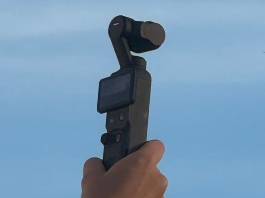
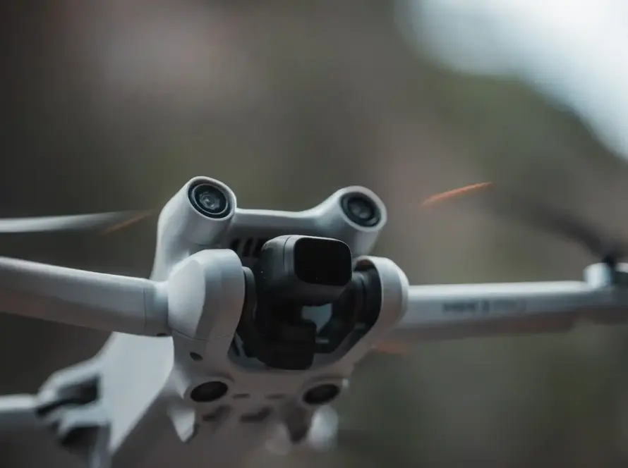
Jordan’s infrastructure corridors (highways, water pipelines, and solar corridors) cross diverse, challenging terrains. Traditional photogrammetry struggles in areas with dense vegetation or low-contrast sands. Drone-mounted LiDAR (Light Detection and Ranging) provides an active sensor solution that penetrates canopy to map true bare-earth topography.
Quick Summary & Direct Answer
Drone LiDAR mapping in Jordan uses active laser pulses to penetrate vegetation and capture bare-earth topography. This technology generates high-density point clouds independent of light conditions, making it superior to photogrammetry for mapping steep wadis and low-contrast deserts.
Why Photogrammetry Struggles in Challenging Jordanian Terrains
Photogrammetry relies on matching features across overlapping photos. In the Jordan Valley’s vegetated wadis or the featureless sand dunes of Eastern Badia, photogrammetry lacks the texture and contrast needed for accurate point matching. This can result in inaccurate elevation data that delays engineering designs.
The LiDAR Advantage: True Ground Elevation
LiDAR systems emit thousands of active laser pulses per second. Because these pulses can bounce off multiple layers (vegetation and the ground underneath), software can isolate ground strikes (the bare-earth model) from vegetation, providing accurate topographic surveys even under dense tree cover.
Technical Comparison: Drone LiDAR vs. Photogrammetry
| Feature / Metric | UAV LiDAR Mapping | UAV Photogrammetry | Best Local Application |
|---|---|---|---|
| Canopy Penetration | Excellent (Multiple Returns) | Poor (Surface Only) | Jordan Valley & Agricultural areas |
| Desert & Low Contrast | Excellent (Active Laser) | Poor (Texture Reliant) | Wadi Rum & Badia Pipelines |
| Data Processing Speed | Rapid (Direct Point Cloud) | Slow (Heavy Image Stitching) | Long-distance highway surveys |
| Vertical Accuracy (Z) | Centimeter-level (RTK/PPK) | Decimeter-level (Estimated) | Precision engineering design |
Survey with Confidence: Contact Loyalty Drones
Loyalty Drones operates state-of-the-art UAV LiDAR platforms coupled with high-precision RTK GPS ground stations. We help civil engineers, surveyors, and infrastructure planners throughout Jordan acquire design-ready point clouds that keep projects moving forward.
Partner with Loyalty Drones
Secure survey-grade topographic data for your next project.