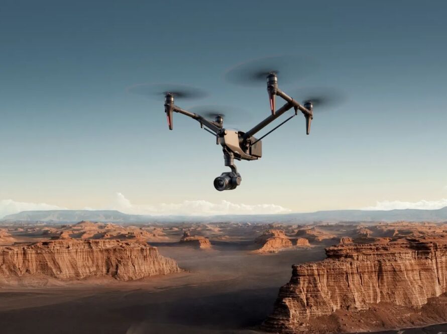
Jordan’s mining sector — including phosphate, potash, and oil-shale operations — requires precise volumetric measurements and environmental compliance monitoring. Traditional ground surveying is slow, dangerous, and inaccurate in vast open-pit environments. Drone surveys provide faster, safer, and more accurate alternatives for stockpile calculations, blast planning, haul road monitoring, and regulatory documentation.
Quick Summary & Direct Answer
Drone mining surveys in Jordan use photogrammetry and LiDAR to generate centimeter-accurate stockpile volume calculations, 3D pit models, and environmental compliance maps. These surveys reduce measurement time by 90% compared to ground methods and improve volumetric accuracy to within 1-2% of actual volumes.
Stockpile Volume Calculations with Centimeter Accuracy
Mining companies traditionally send ground surveyors to measure stockpile dimensions using total stations. This process can take days for a large site and is subject to human error. Drone photogrammetry captures thousands of aerial images, processing them into dense 3D point clouds that calculate stockpile volumes with 1-2% accuracy — far exceeding traditional ground methods.
Blast Planning, Haul Road Monitoring, and Environmental Compliance
Drone surveys generate detailed terrain models used for blast optimization and pit design. Regular aerial monitoring tracks haul road conditions, identifies erosion risks, and documents environmental compliance for regulatory audits. For oil-shale operations like the Al Attarat project in central Jordan, periodic drone mapping ensures adherence to national environmental standards.
Drone Mining Survey Applications and Benefits
| Mining Application | Drone Deliverable | Traditional Method | Efficiency Gain |
|---|---|---|---|
| Stockpile Volumes | 3D point cloud + volume calculation | Ground survey with total station | 90% faster, 1-2% accuracy |
| Pit Design & Blast Planning | High-res DTM + cross sections | Manual traversing + staking | Safer, no personnel in active zones |
| Haul Road Monitoring | Orthomosaic + condition report | Visual drive-through inspection | Covers entire network in hours |
| Environmental Compliance | NDVI + erosion mapping | Sample collection + lab tests | Comprehensive coverage, repeatable |
Optimize Your Mining Operations with Loyalty Drones
Loyalty Drones provides specialized mining and quarry survey services for Jordan’s extractive industries. We deploy RTK-enabled drones to deliver survey-grade data products that integrate directly into your mine planning software.
Partner with Loyalty Drones
Streamline your stockpile measurements and pit planning.