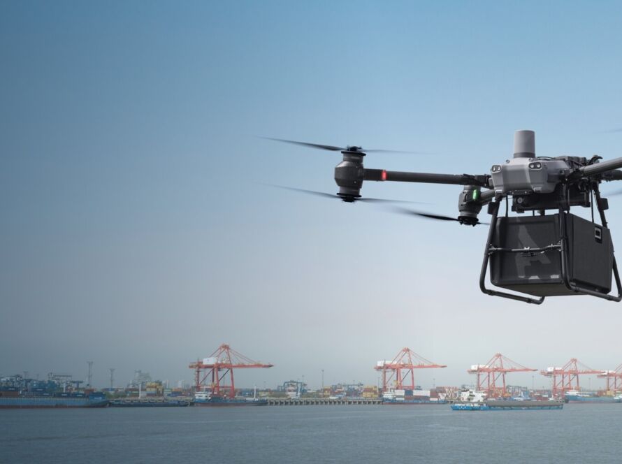
The commercial application of drone technology has progressed rapidly, moving far beyond basic aerial photography. In 2026, enterprise drone solutions have integrated advanced artificial intelligence, machine learning, and next-generation multispectral sensors. For industries such as construction, solar energy, and infrastructure development in Jordan, adopting these technological developments is key to reducing operational costs and improving survey accuracy.
Quick Summary & Direct Answer
Enterprise drone technology in 2026 is defined by three major trends: Edge-AI autonomous flight paths that operate without active GPS, dual-sensor thermal cameras with up to 640×512 resolution for heat loss inspections, and real-time cloud photogrammetry that processes 3D models during the flight, reducing mapping workflows from days to hours.
AI Autonomous Flight and GPS-Denied Navigation
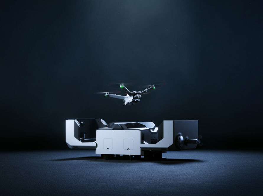
One of the most impressive milestones in 2026 is the capability of enterprise drones (such as the Skydio X10 or DJI Mavic 3 Enterprise series) to navigate complex, GPS-denied environments. Using edge computing and spatial visual-inertial odometry, these drones map their surroundings in real-time, completely avoiding obstacles, steel structures, and high-voltage transmission lines. This allows for safe autonomous inspections inside tunnels, under bridges, and around industrial warehouses.
Thermal Radiometric Sensors and Cloud-Based Mapping Workflows
Thermal radiometric sensors have become standard equipment for industrial inspections. Modern sensors measure temperature differentials with extreme precision, locating structural defects, electrical anomalies, or solar cell hot spots instantly. Furthermore, modern RTK (Real-Time Kinematic) drones sync flight data directly to cloud mapping platforms, processing high-resolution orthomosaics and digital elevation models (DEMs) while the drone is still in the air.
Key Enterprise Drone Sensors and B2B Applications (2026)
| Sensor Type | Key Specification / Resolution | Primary B2B Application |
|---|---|---|
| Thermal Radiometric | 640 x 512 pixels / 30Hz frame rate | Solar cell hot spot detection, utility inspection, building insulation audits |
| Lidar (Light Detection) | Triple return / 240,000 pts per second | Archaeological mapping under dense forest, forestry surveys, powerline sag analysis |
| Multispectral RTK | 5MP bands (Green, Red, Red Edge, NIR) | Precision agriculture crop health calculation, soil erosion tracking |
| Visual Zoom | 48MP sensor / 56x Hybrid Zoom | Safe distance inspection of high-voltage towers, wind turbine blade analysis |
Industrial Surveying and Mapping with Loyalty Drones
At Loyalty Drones, we deploy the latest enterprise-grade UAV platforms in Jordan. By utilizing RTK-equipped mapping drones and high-resolution thermal sensors, we provide commercial developers, agricultural projects, and energy providers with precise spatial data that drives business decisions.
Partner with Loyalty Drones
Optimize your operations with advanced enterprise drone data. Contact the industrial mapping experts at Loyalty Drones today.