LiDAR (Light Detection and Ranging) is a cutting-edge remote sensing technology that uses laser pulses to measure distances and create highly accurate 3D maps of the environment. When integrated with drones, LiDAR becomes a powerful tool for a wide range of applications, from topographic mapping and urban planning to archaeology and environmental monitoring. Loyalty Drones, a leader in aerial technology in Jordan, is harnessing the power of LiDAR to deliver precise, efficient, and innovative solutions for industries across the region.
This article dives deep into LiDAR technology, its benefits, applications, and how Loyalty Drones is leveraging it to transform industries.
What is LiDAR?
LiDAR is a remote sensing method that uses laser light to measure distances to the Earth’s surface. A LiDAR system emits rapid laser pulses, which bounce back after hitting objects or terrain. By calculating the time it takes for the light to return, LiDAR creates detailed 3D representations of the environment.
When mounted on drones, LiDAR systems can quickly and accurately map large areas, even in challenging terrains or dense vegetation.
How Does LiDAR Work?
- Laser Emission: A LiDAR sensor emits thousands of laser pulses per second.
- Reflection: The laser pulses hit objects or the ground and reflect back to the sensor.
- Time Measurement: The system calculates the time it takes for each pulse to return.
- Distance Calculation: Using the speed of light, the system determines the distance to each point.
- 3D Mapping: Combining distance data with GPS and IMU (Inertial Measurement Unit) information, the system generates a precise 3D map.
Benefits of LiDAR Technology
1. High Accuracy
LiDAR provides centimeter-level accuracy, making it ideal for applications requiring precise measurements.
2. Efficiency
Drones equipped with LiDAR can cover large areas quickly, reducing the time and cost of traditional surveying methods.
3. Versatility
LiDAR works in various environments, including dense forests, urban areas, and rugged terrains, where traditional methods may struggle.
4. Detailed 3D Models
LiDAR creates highly detailed 3D models of the environment, including terrain, vegetation, and structures.
5. Penetration Capabilities
LiDAR can penetrate vegetation to map the ground surface, making it invaluable for forestry and archaeological applications.
Applications of LiDAR Technology
1. Topographic Mapping
LiDAR is widely used for creating accurate topographic maps, essential for urban planning, infrastructure development, and flood modeling.
2. Forestry and Environmental Monitoring
LiDAR helps measure forest canopy height, biomass, and vegetation density, supporting sustainable forest management and environmental conservation.
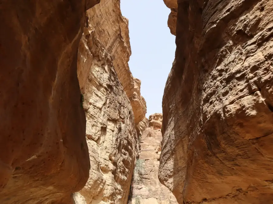
3. Archaeology
LiDAR can reveal hidden archaeological features, such as ancient ruins or buried structures, without disturbing the site.
4. Urban Planning and Smart Cities
LiDAR provides detailed 3D models of urban areas, aiding in city planning, zoning, and the development of smart city initiatives.
5. Mining and Quarrying
LiDAR is used to monitor mining sites, calculate stockpile volumes, and ensure safe and efficient operations.
6. Disaster Management
LiDAR helps assess damage after natural disasters, such as earthquakes or floods, and supports recovery efforts.
7. Agriculture
LiDAR assists in precision farming by mapping fields, analyzing soil conditions, and optimizing irrigation systems.
8. Transportation and Infrastructure
LiDAR is used for road and railway design, bridge inspections, and monitoring infrastructure health.
Why Choose Loyalty Drones for LiDAR Services?
1. Advanced LiDAR Equipment
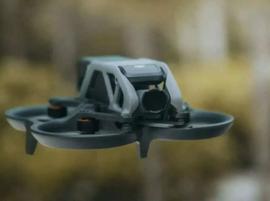
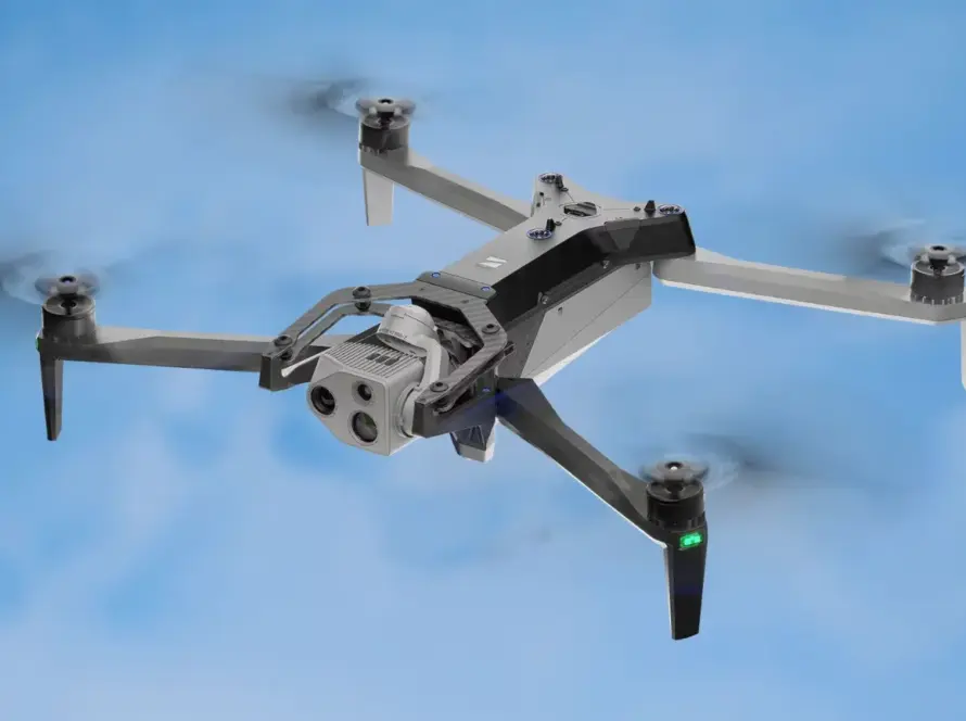
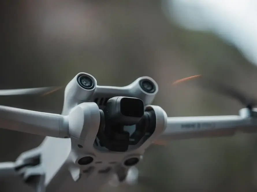
We use state-of-the-art LiDAR systems, such as the DJI L1 and RIEGL VUX, integrated with high-performance drones for accurate and efficient data collection.
2. Experienced Team
Our team includes certified drone pilots, LiDAR specialists, and data analysts who ensure precise and reliable results.
3. Comprehensive Data Processing
We provide end-to-end services, from data collection to processing and analysis, delivering actionable insights for your projects.
4. Customized Solutions
We tailor our LiDAR services to meet the specific needs of your industry and project requirements.
5. Compliance and Safety
As a licensed drone operator in Jordan, we adhere to all regulations and safety standards, ensuring legal and secure operations.
How LiDAR Works with Drones
- Mission Planning: Our team plans the flight path and parameters based on the project requirements.
- Data Collection: The drone equipped with a LiDAR sensor flies over the area, capturing millions of data points.
- Data Processing: Specialized software processes the raw data to create detailed 3D models and maps.
- Analysis and Reporting: We analyze the data and provide actionable insights in the form of reports, maps, or digital models.
Frequently Asked Questions (FAQ)
- What is the accuracy of LiDAR data?
LiDAR can achieve accuracy within a few centimeters, depending on the equipment and conditions. - Can LiDAR penetrate dense vegetation?
Yes, LiDAR can penetrate vegetation to map the ground surface, making it ideal for forestry and archaeological applications. - How long does it take to process LiDAR data?
Processing time depends on the size of the area and the complexity of the data, but advanced software ensures efficient results. - What industries benefit from LiDAR technology?
LiDAR is used in industries such as construction, forestry, archaeology, agriculture, mining, and disaster management. - Is LiDAR better than traditional surveying methods?
LiDAR is faster, more accurate, and more versatile, especially for large or complex areas. - Can LiDAR be used indoors?
Yes, LiDAR can be used for indoor mapping, such as building interiors or industrial facilities. - How much does LiDAR mapping cost?
Costs vary depending on the project scope, area size, and data requirements. Contact us for a customized quote.
Conclusion
LiDAR technology is transforming the way we map and analyze the world, offering unparalleled accuracy, efficiency, and versatility. Loyalty Drones is at the forefront of this revolution, providing advanced LiDAR services tailored to the needs of industries in Jordan and beyond.
Whether you’re planning a construction project, managing natural resources, or exploring archaeological sites, Loyalty Drones delivers precise and actionable data to support your goals. Unlock the power of LiDAR with Loyalty Drones and take your projects to new heights!