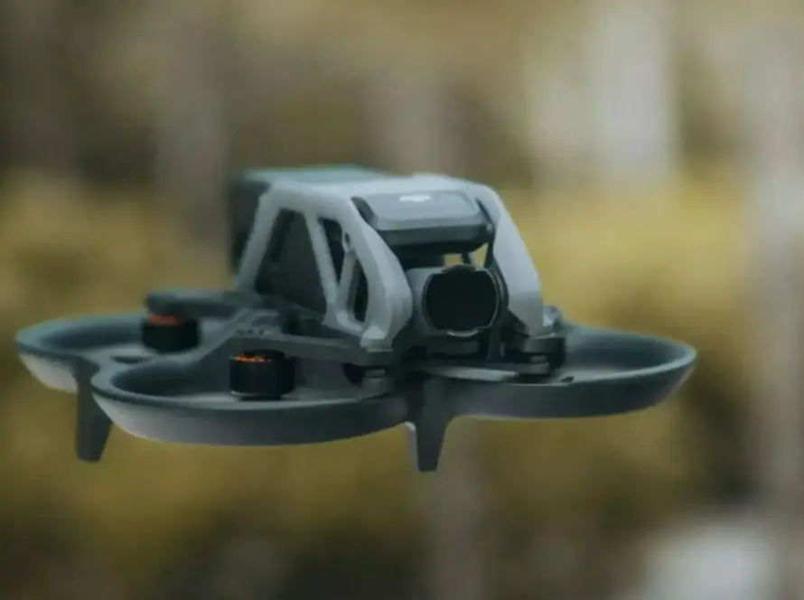
For civil engineering, construction, and mining industries, creating accurate digital twins of the earth’s surface is vital for project planning and design. To build these spatial models, developers choose between two primary drone-based technologies: LiDAR (Light Detection and Ranging) terrain scanning and aerial photogrammetry. While both produce detailed 3D maps, they rely on entirely different physics and excel in different operational environments.
Quick Summary & Direct Answer
LiDAR vs photogrammetry for digital twins depends on terrain vegetation and accuracy needs. LiDAR uses laser pulses to penetrate heavy tree and plant canopies, capturing true ground surface elevation, whereas photogrammetry relies on stitched high-resolution overlapping photographs, offering cost-effective, textured visual maps for open, unobstructed sites.
The Technical Distinctions: Active Lasers vs. Passive Optics
LiDAR is an active sensing technology that emits thousands of laser pulses per second toward the ground and measures the time it takes for them to reflect back. Because laser beams can pass through gaps in leaves, LiDAR maps the actual soil topography underneath dense forests or crop fields. In contrast, photogrammetry is a passive technology that captures overlapping visual photographs. While it generates beautiful, photo-realistic 3D models with high visual texture, it cannot look past trees, plants, or roofs to map the ground underneath, requiring clear site visibility.
Operational Efficiency, Costs, and Project Scope
Choosing between LiDAR and photogrammetry involves balancing project scope, budget, and terrain conditions. Photogrammetry uses standard high-resolution cameras, making it highly cost-effective and easy to deploy for urban layouts, open mines, and architectural inspections. LiDAR systems require expensive laser scanners and specialized processing software, raising initial operation costs. However, for large infrastructure routes, dense forests, or powerline corridor mapping, LiDAR’s rapid data collection and ground penetration save hundreds of survey hours, making it the superior choice for complex engineering projects.
Detailed Comparison: LiDAR Terrain Scanning vs. Aerial Photogrammetry
| Feature / Parameter | LiDAR Terrain Scanning | Drone Photogrammetry |
|---|---|---|
| Data Collection Method | Active laser sensors (measures time-of-flight reflections) | Passive camera sensors (processes overlapping visual photos) |
| Canopy Penetration | Excellent (laser passes between leaves to map ground elevation) | None (cannot capture details beneath trees or vegetation) |
| Visual Realism | High-density point clouds (requires color overlay) | Photorealistic 3D meshes (inherently textured and detailed) |
Providing Advanced Geospatial Solutions in Jordan
As Jordan expands its highway networks, renewable energy plants, and urban infrastructure in Amman and Aqaba, engineering companies require precise spatial data. Loyalty Drones operates high-performance commercial drones equipped with both LiDAR and high-resolution photogrammetry payloads. Our technical team works under CARC approvals to deliver highly accurate digital twins, topographical surveys, and volumetric analysis tailored to the unique geological conditions of the Middle East, helping contractors reduce project risks, optimize resources, and complete their large-scale earthworks on schedule without delays.
Partner with Loyalty Drones
Get the optimal geospatial data for your next engineering or mining project. Contact the survey experts at Loyalty Drones today.