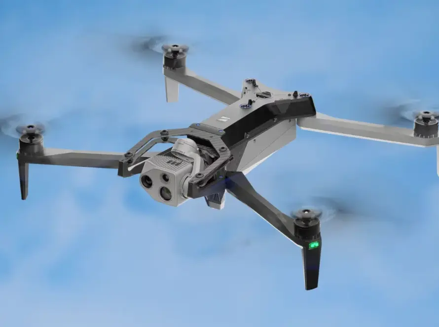
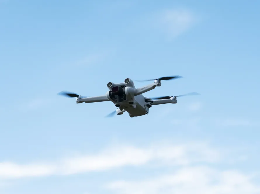
The Skydio X10 Enterprise drone redefines the role of autonomous flight in commercial industries by combining high-performance computing with spatial artificial intelligence. Engineered with custom optical arrays and advanced sensor fusion, this platform operates with near-total autonomy, navigating around obstacles that would crash standard commercial UAVs. For enterprise teams, the X10 offers an unmatched ability to execute repetitive, high-precision inspections with minimal pilot intervention.
Quick Summary & Direct Answer
The Skydio X10 Enterprise drone utilizes spatial AI and a multi-camera visual system to achieve 360-degree obstacle avoidance and fully autonomous mapping. Equipped with specialized thermal and high-zoom visual payloads, it executes complex structural scans and utility inspections in high-interference environments, generating accurate 3D models with minimal operator inputs.
Spatial AI and 360-Degree Autopilot Obstacle Avoidance
At the heart of the Skydio X10 is its spatial AI engine, powered by advanced Nvidia processors. The drone utilizes six navigation cameras to build a real-time 3D model of its surroundings, allowing it to navigate dense forests, interior industrial structures, and congested utility corridors autonomously. Unlike drones that rely solely on GPS or manual piloting, the X10 calculates safe flight paths dynamically. This eliminates the risk of collision, enabling safe operations close to delicate equipment and high-voltage transmission lines.
Custom Payload Versatility for Night Inspections
The X10 is configured with modular payloads, including high-resolution wide-angle cameras, radiometric thermal sensors, and high-performance zoom lenses. This makes it particularly effective for nighttime search and rescue operations or 24/7 industrial monitoring. The thermal sensor detects temperature anomalies in electrical transformers, while the zoom lens captures clear serial numbers from safe standoff distances. By streamlining data acquisition across light conditions, the X10 decreases inspection times and increases safety margins for asset management teams.
Skydio X10 Enterprise Autonomy and Visual Specs
| Capability Profile | Standard Enterprise UAVs | Skydio X10 Enterprise Platform |
|---|---|---|
| Obstacle Avoidance | Active sensors with blind spots in low light | 360-degree spatial AI navigation in all lighting conditions |
| Autopilot Intelligence | Requires manual guidance near structure walls | Fully autonomous flight paths with real-time 3D modeling |
| Data Processing | Requires external software for mapping preparation | Edge computing for real-time scene analysis and mapping |
Autonomous Infrastructure Inspection Solutions in Amman
As Jordan continues to modernize its municipal and energy infrastructure, autonomous drones like the Skydio X10 are becoming vital tools. In Amman, where urban density and historical monuments co-exist, the X10’s 360-degree obstacle avoidance permits safe inspections of bridges, solar fields, and cell towers. Loyalty Drones utilizes these autonomous capabilities to provide high-fidelity structural scans and mapping reports, helping local utility companies monitor asset health while reducing operational downtime and labor costs.
Partner with Loyalty Drones
Upgrade your commercial inspections with the industry-leading autonomy of the Skydio X10. Contact the experts at Loyalty Drones today.