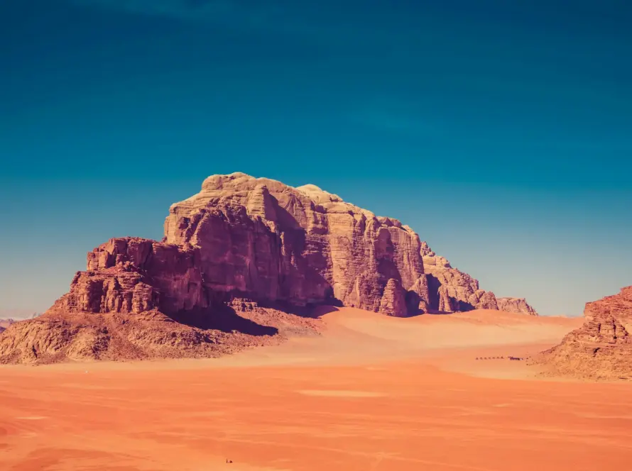
Aerial photography is the most effective way to market land plots and lots for sale. Ground photos cannot show a plot’s true size, shape, boundaries or surroundings — a drone shot shows all of it in one frame. For land listings in Jordan, aerial imagery turns a vague parcel into a property buyers can actually understand.
Why land is hard to sell with ground photos
An empty plot photographed from the ground looks like every other empty plot. Buyers cannot see where it starts and ends, how it sits relative to roads and neighbours, or what the surroundings look like. That uncertainty slows decisions and filters out serious interest.
What aerial photography shows that ground photos cannot
- True size and shape of the plot in one clear view.
- Boundaries and orientation — where the land begins and ends.
- Access — the roads and approaches serving the plot.
- Surroundings — neighbouring development, views and context.
- Topography — whether the land is flat, sloped or terraced.
What we deliver for land listings
| Deliverable | Use |
|---|---|
| Top-down aerial photos | Show plot size and shape to scale |
| Angled aerial shots | Show context, access and surroundings |
| Short aerial video | Listing and social-media marketing |
| Boundary-marked images | Make the parcel unmistakable |
Who this helps
Land aerial photography works for real estate agents listing plots, developers marketing project land, and owners selling privately who want their parcel to stand out. For larger or higher-value land, it is close to essential.
Aerial photography vs drone surveying
Aerial photography markets the land — attractive, clear visuals for buyers. Drone surveying measures it — precise maps, areas and contours for planning. Many sellers want photography; developers often want both. We offer each.
Frequently Asked Questions
Why use a drone to photograph land for sale?
Because only an aerial view shows a plot’s full size, shape, boundaries and surroundings in one image — exactly what buyers need to make a decision.
Can you show plot boundaries in the photos?
Yes. We can capture top-down shots and mark boundaries so the parcel is unmistakable in the listing.
How much does aerial land photography cost in Jordan?
Land shoots are usually quick and sit at the more affordable end. Cost depends on plot size and location — request a quote.
Do you cover land outside Amman?
Yes. We photograph land plots across Jordan.
Market your land the right way
Loyalty Drones delivers aerial photography for land plots across Jordan. Request a quote, or see our real estate drone photography and drone surveying services.
Related Drone Services in Jordan
Loyalty Drones is the CARC-licensed team behind every page on this site. These are the services most relevant to this article:
Or browse the full service list on the services hub, or read about us on the About page.