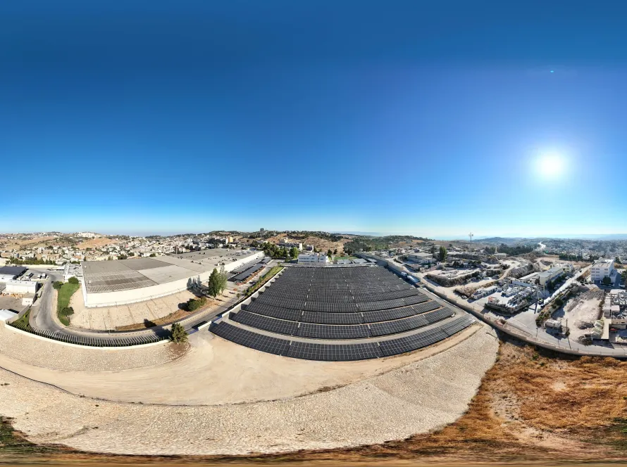
Drone mapping for government and NGO projects in Jordan delivers centimetre-grade accuracy, CARC-cleared flights, and GIS-ready outputs that integrate with existing public-sector data systems. Typical deliverables include orthomosaic maps, digital elevation models, and 3D site models — all produced from short flights that replace weeks of ground survey work.
Where drones add the most value for public-sector work
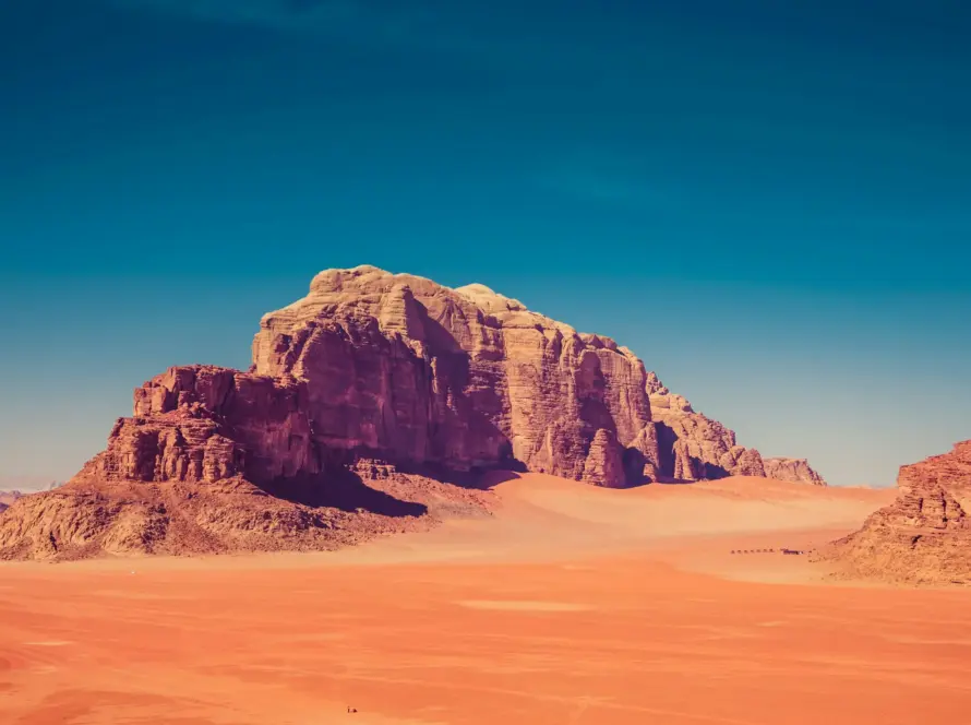
The three highest-value use cases are: rapid infrastructure surveys (roads, dams, bridges), humanitarian site planning (refugee camp layouts, WASH infrastructure), and heritage documentation (Petra, Jerash, Umm Qais). Each replaces weeks of manual work with a day of flight and a week of processing.
Accuracy you can rely on for procurement
With ground control points, our mapping outputs reach 2–5 cm horizontal accuracy and 3–8 cm vertical — accurate enough for tender drawings, design verification, and project handover documentation. We supply the GCP report alongside the orthomosaic.
CARC clearance for sensitive projects
Government and NGO projects often sit near restricted airspace or sensitive sites. We hold a CARC commercial license and have an established process for restricted-zone approvals, typically clearing flights in 5–15 working days.
Standard deliverable package
A complete public-sector deliverable package includes the orthomosaic (GeoTIFF + JPG), a digital surface model, a 3D textured mesh, a flight report with GCP residuals, and a documented chain of custody for archival. All formats are GIS-ready (QGIS, ArcGIS).
Reporting and transparency
Each project closes with a full report: flight plan, captured frames, processing parameters, accuracy report, and a signed pilot log. Public-sector clients and donors get the audit trail they need without extra back-and-forth.
Procurement and donor compliance
We can invoice with full VAT, accept multi-stage payment milestones, and meet most donor procurement requirements (UN, EU, USAID-style). Discuss your compliance framework at the start and we’ll align documentation accordingly.
Public-sector deliverable package
| Deliverable | Format | Use |
|---|---|---|
| Orthomosaic | GeoTIFF + JPG | Base map, GIS |
| Digital surface model | GeoTIFF DSM | Volumes, slopes |
| 3D textured mesh | OBJ + glTF | Visualisation, BIM |
| Contour map | SHP / DXF | Design drawings |
| Accuracy report | PDF with GCP residuals | QA / audit |
| Flight log | Signed PDF | Chain of custody |
Frequently Asked Questions
How accurate is drone mapping for tender work?
With ground control points, drone mapping reaches 2–5 cm horizontal and 3–8 cm vertical accuracy — sufficient for tender drawings, design verification, and most public-sector deliverables.
Can you work in CARC-restricted areas for government clients?
Yes. We hold a CARC commercial license and a documented process for restricted-zone approvals. Lead time is typically 5–15 working days depending on the zone.
Do you support donor compliance requirements?
We can align documentation with UN, EU, and USAID-style requirements: signed flight logs, accuracy reports, and full chain of custody. Share the framework at project start.
What GIS formats do you deliver in?
GeoTIFF, JPG, SHP, DXF, OBJ, and glTF as standard. We can also export to KMZ for Google Earth or align with custom national grid systems on request.
How fast can a humanitarian mapping project be turned around?
Urgent humanitarian surveys can be flown within 48 hours of approval and delivered within 72 hours of flight completion, subject to CARC clearance timing.
Work With Loyalty Drones
Have a public-sector or NGO mapping project? Contact Loyalty Drones for a free quote. Related reading: aerial photography services in Jordan. drone laws in Jordan.