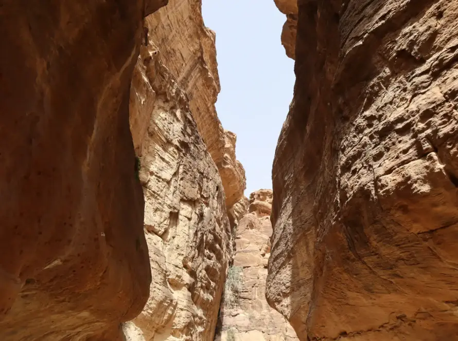
Wadi Mujib—known globally as the Grand Canyon of Jordan—is a spectacular gorge cutting through rugged sandstone mountains to enter the Dead Sea. Its popular wet trails attract thousands of tourists every year, but its narrow vertical canyon walls and rapid hydrological changes pose significant natural hazards, including sudden flash floods and rockfalls. Drone-based terrain scanning has become a critical technology to map these rugged canyons and enhance safety protocols.
Quick Summary & Direct Answer
Drone terrain scanning in Wadi Mujib utilizes rugged, commercial UAV platforms equipped with LiDAR and visual sensors to map canyon profiles and check trail safety. By constructing high-resolution digital elevation models, geological and rescue teams can identify unstable rock formations and coordinate flash-flood rescue routes, reducing trail risks for adventure tourists.
Canyon Mapping Challenges: Navigating GPS-Denied Gorges
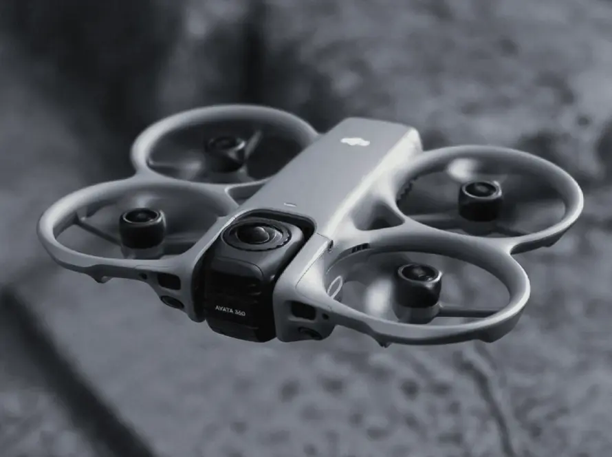
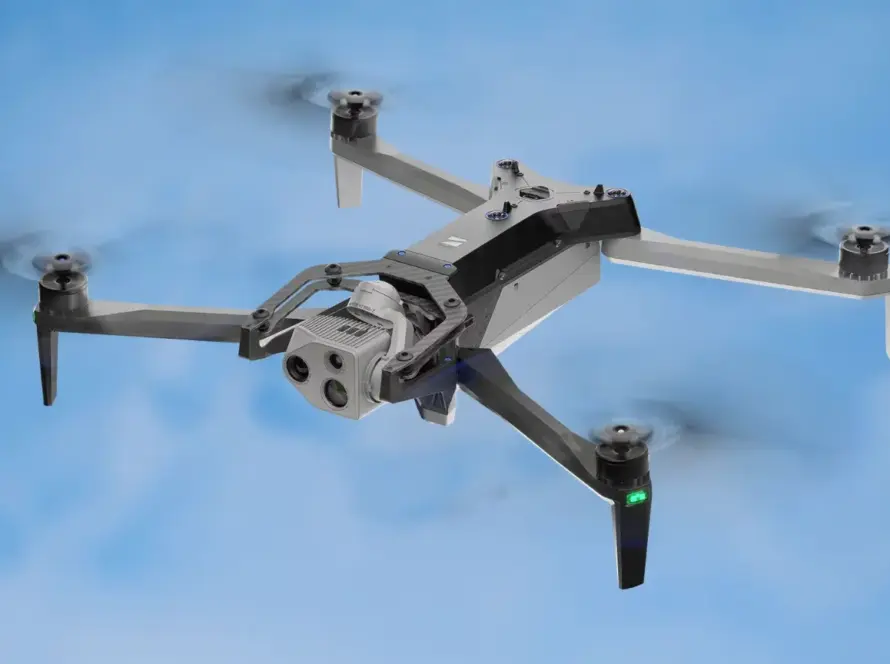
Flying drones in Wadi Mujib is exceptionally difficult due to the vertical cliff walls that block satellite GPS signals and create unpredictable wind drafts. To map these gorges safely, pilots use advanced industrial drones with visual obstacle avoidance and real-time kinematic (RTK) positioning. These sensors allow the drone to stabilize itself and fly autonomously along the trail paths, capturing detailed imagery of cliff structures and rock stability.
Rockfall Risk Assessment and Flash Flood Planning
By analyzing 3D digital elevation models generated from drone photogrammetry, geologists inspect rock layers for signs of fractures and shifting blocks above the trails. This allows park rangers to scale down loose rocks before they endanger hikers. Volumetric maps also help simulate the flow rate of seasonal flash floods, showing where water levels will rise fastest and guiding the installation of emergency exit ladders and search-to-rescue coordinates.
Drone Application Scenarios for Wadi Mujib Safety
| Scenario / Task | Drone Equipment Used | Safety & Monitoring Outcome |
|---|---|---|
| Pre-Season Trail Audit | RTK Photogrammetry & LiDAR Drones | Build high-resolution maps to identify changes in canyon paths after winter floods |
| Rockfall Hazard Check | High-Zoom (56x) Optical Zoom Payload | Inspect high-altitude cliff cracks and loose boulders above tourist paths |
| Flood Route Mapping | Multispectral & Digital Elevation Models | Simulate water flow to place rescue markers and emergency escape ladders |
| Emergency Search & Rescue | Thermal Radiometric & Searchlight Payload | Locate lost hikers at night in dark canyon pockets using heat signatures |
High-Risk Flight Operations with Loyalty Drones
Loyalty Drones specializes in high-risk drone missions in Jordan’s most challenging landscapes. Our experienced pilots are trained in canyon flight physics and GPS-denied navigation, delivering critical terrain data that supports public safety and environmental management in Wadi Mujib.
Partner with Loyalty Drones
Enhance safety and geological monitoring with professional canyon scanning. Contact the technical team at Loyalty Drones today.